
Guest guide

Ten sights and hikes, easiest first

Wears Valley puts you on the quiet side of the park, so most of these start closer to you than to anyone staying on the Parkway. Distances are round trip, drive times were measured from the cabin door, and every closure below was checked against nps.gov.

You need a parking tag

$5 a day, $15 a week, $40 a year, required for any vehicle parked more than 15 minutes anywhere in the park — trailheads, overlooks, Cades Cove, all of it. There is no entrance fee; this is separate. Buy it at a visitor center or recreation.gov, and display the paper tag — a photo on your phone is not accepted.

Laurel Falls is closed

Every other guide to the Smokies sends you to Laurel Falls. It has been closed since January 2025 for rehabilitation, the work hit unexpected ground conditions, and it is now not expected to reopen until 2027. Do not drive to that trailhead. Grotto Falls, at number eight, is the waterfall walk to do instead.

Ordered by effort — the first four suit any age

Print the one-page version
A level paved path curving through forest
01

Sugarlands Valley Nature Trail

Newfound Gap Rd · 0.5 mi loop · Flat

41 minWheelchair & stroller

The only genuinely accessible trail in this guide. A paved, level loop through streamside forest with interpretive signs, and rarely crowded. If someone in the party cannot manage steps or roots, this is the one that still gives them the park.
A one-room log schoolhouse in a clearing
02

Little Greenbrier School

Metcalf Bottoms · 1.2 mi · Easy

31 minEasy · 1 hrClosest to you

The nearest piece of the park to the cabin, straight down the Wears Valley cut‑through. A short walk from the picnic area to an 1882 one‑room schoolhouse and its cemetery, still furnished. Roots underfoot — easy, but not stroller ground.

A stream cascading over rock ledges
03

Middle Prong, Tremont

Tremont Rd · 1.4–4 mi · Easy

55 minEasy · wide

An old railroad grade, so it is wide and almost flat — cascades at 0.7 miles, more the further you go, and you can turn around anywhere. The drive is slow because the last stretch is gravel; the trail itself is the gentlest real hike here.

A wide river running beside a level trail
04

Little River Trail, Elkmont

Elkmont · As far as you like · Flat

46 minEasy · flat

A level old road following the river, with the abandoned Elkmont cottages at the start. There is no summit and no turning point — walk twenty minutes or four hours and come back the same way. The best trail here for a slow morning with children.

A black bear crossing an open valley meadow
05

Cades Cove Loop Road

Townsend · 11 mi one‑way loop · Driving

51 minNo walking needed

The best wildlife you will see without leaving the car — bear and deer most mornings — past 1800s homesteads, three churches and a working gristmill. Allow two hours, not one; the loop crawls in season. Go at dawn or skip midday entirely.

An observation tower on a ridge above layered blue mountains
06

Look Rock, Foothills Parkway

Walland · 0.8 mi paved · Easy but steep

52 minShort climbNo parking tag

A paved climb to a tower with 360° views over the western Smokies and the Tennessee valley. The Foothills Parkway is outside the park boundary, so no parking tag is needed — and it carries a fraction of the traffic of Newfound Gap Road.

A natural stone arch on a mountainside with steps through it
07

Alum Cave to Arch Rock

Newfound Gap Rd · 2.8 mi · Moderate

55 minModerate · 2 hrsLot fills by 7am

Stone steps climb straight through a natural arch, and it is the most striking two miles in the park. Carry on to Inspiration Point for the view, or all the way to Mount LeConte if you are fit — that is 11 miles and a full day. Arrive by seven or park somewhere else.

A waterfall with a walkable ledge passing behind the curtain of water
08

Grotto Falls

Roaring Fork · 4 mi · Moderate

57 minModerate · 3 hrs

The only waterfall in the park you can walk behind, and the reason to stop mourning Laurel Falls. Roots and rock, muddy after rain, fine for children who can manage two miles each way. The llamas resupplying LeConte Lodge use this trail — you may meet them.

Layered blue ridges receding into haze at a mountain gap
09

Newfound Gap Overlook

US‑441 at the state line · No walking

1 hr 2 minPark and look

5,046 feet, one foot in Tennessee and one in North Carolina, and the Appalachian Trail crosses the parking lot. Ten minutes from the car for the view everyone pictures when they think of the Smokies. Combine it with Kuwohi — it is on the way.

A spiral ramp observation tower on the highest summit above the clouds
10

Kuwohi (formerly Clingmans Dome)

Highest point in the park · 1 mi paved

1 hr 18 minShort but very steepRoad shut Dec–Mar

6,643 feet, the highest ground in Tennessee, up a half‑mile paved ramp to a spiral tower. The name changed officially in 2024 — restored to the Cherokee original — so older maps and GPS units still say Clingmans Dome. Paved but far too steep for a stroller. Bring a jacket; it is 10–20°F colder up there.

If you want a hard day, and a warning worth heeding

Charlies Bunion is 8 miles and 1,900 feet from the Newfound Gap parking lot along the Appalachian Trail, to a bare rock outcrop with real exposure. Five hours, fit adults, not children. And check nps.gov/grsm before any hike. Autumn is when bears feed hard before winter, and the park closed the Ramsey Cascades and Abrams Falls trails at short notice this April after aggressive encounters. Conditions change faster than any printed sheet.

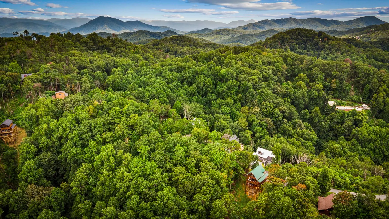
Mountain view from Acorn Ridge

The cabin these are all measured from

Ten guests, four bedrooms, a hot tub on the deck and the national park twenty minutes down the hill.

Check Availability
Check Availability Ask